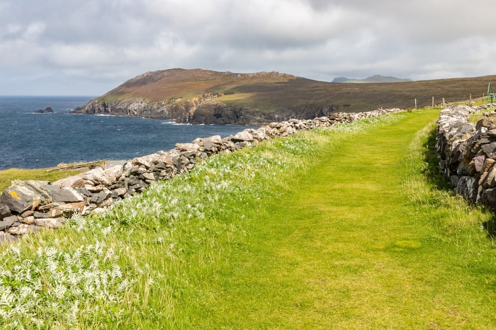
If you’re planning the Clogherhead Cliff Walk in 2026, the good news is that it’s short, free to walk and easy enough for most people. The headland walk from the harbour car park takes about 30 to 45 minutes there and back, while the longer loop back through the village and along the beach runs to roughly 4 to 5 km and an hour or so on your feet. Nothing fancy. Just a quartzite headland on the Louth coast with some of the widest sea views on the east coast.
Clogher Head sits about 10 km north-east of Drogheda, and on a clear day you can see the Cooley and Mourne Mountains about 30km to the north and Lambay Island to the south. This guide covers the three ways to do the walk, where to park and start, what you’ll pass along the way, how muddy and windy it gets, and when the beach has lifeguards in 2026.
Clogherhead Cliff Walk at a Glance
| Detail | What to expect |
|---|---|
| Location | Clogher Head, Clogherhead village, Co. Louth, about 10 km north-east of Drogheda |
| Start | Car park at the end of Harbour Road, beside Port Oriel harbour |
| Short walk | About 30 to 45 minutes there and back to the lookout |
| Full loop | 4 to 5.24 km, about 1 to 1.5 hours |
| Climb | About 60 m of ascent on the full loop |
| Difficulty | Easy, but muddy after rain and exposed in wind |
| Cost | No entry fee |
| Buggies | Not suitable on the headland paths |
Clogherhead Cliff Walk Routes: Which Option Suits You?
There’s no single waymarked trail here. The headland is open ground criss-crossed by informal paths, so the walk is really three options built around the same stretch of cliff between the harbour and the beach.
Pick how much time you have and the planner below shows the route that fits, with its distance and the catch to know about.
| Route | Distance | Time | Best for |
|---|---|---|---|
| Headland out and back | About 2 km | 30 to 45 minutes | A quick leg stretch, families, short daylight |
| Headland plus beach | About 4 km | 1 to 1.5 hours, longer with time on the sand | Rock pools, a swim in summer, kids who need a payoff |
| Full loop via beach and village roads | 5.24 km | About 1 hour 15 minutes to 1 hour 30 minutes | Walkers who want a proper loop without retracing steps |
The short walk takes about 30 minutes to reach the lookout and 30 to 45 minutes in total. The beach and cliff walk is about 4 km and takes 1 to 1.5 hours, graded easy. Mapped as a full circuit from the village, the Port Oriel loop comes to 5.24 km with 60 m of climbing.
If you only have half an hour, do the headland out and back. If you have a morning and the tide is out, add the beach. The full loop is a decent shout when you’d rather not walk the same path twice, but there’s a catch, which comes up in the loop section below.
Where to Park and Start the Clogherhead Cliff Walk
The main starting point is the car park at the end of Harbour Road, right beside Port Oriel harbour and the start of the walk. From the car park, head uphill and look for the gap in the stone wall. That’s the way onto the headland.
The car park is small, and summer weekends get absolutely packed once the beach crowd arrives. Bank holiday weekends are busy too; the 2026 bank holiday dates are worth a glance before you pick a day. In July and August, arrive early or come in the evening when the beach crowd has gone home.
Clogherhead is roughly 15 minutes by car from Drogheda, 30 minutes from Dundalk and 45 minutes from Dublin Airport. A car is by far the easiest way to get here, and the village is about 60km north of Dublin city.
How To Walk the Short Clogher Head Route Step by Step
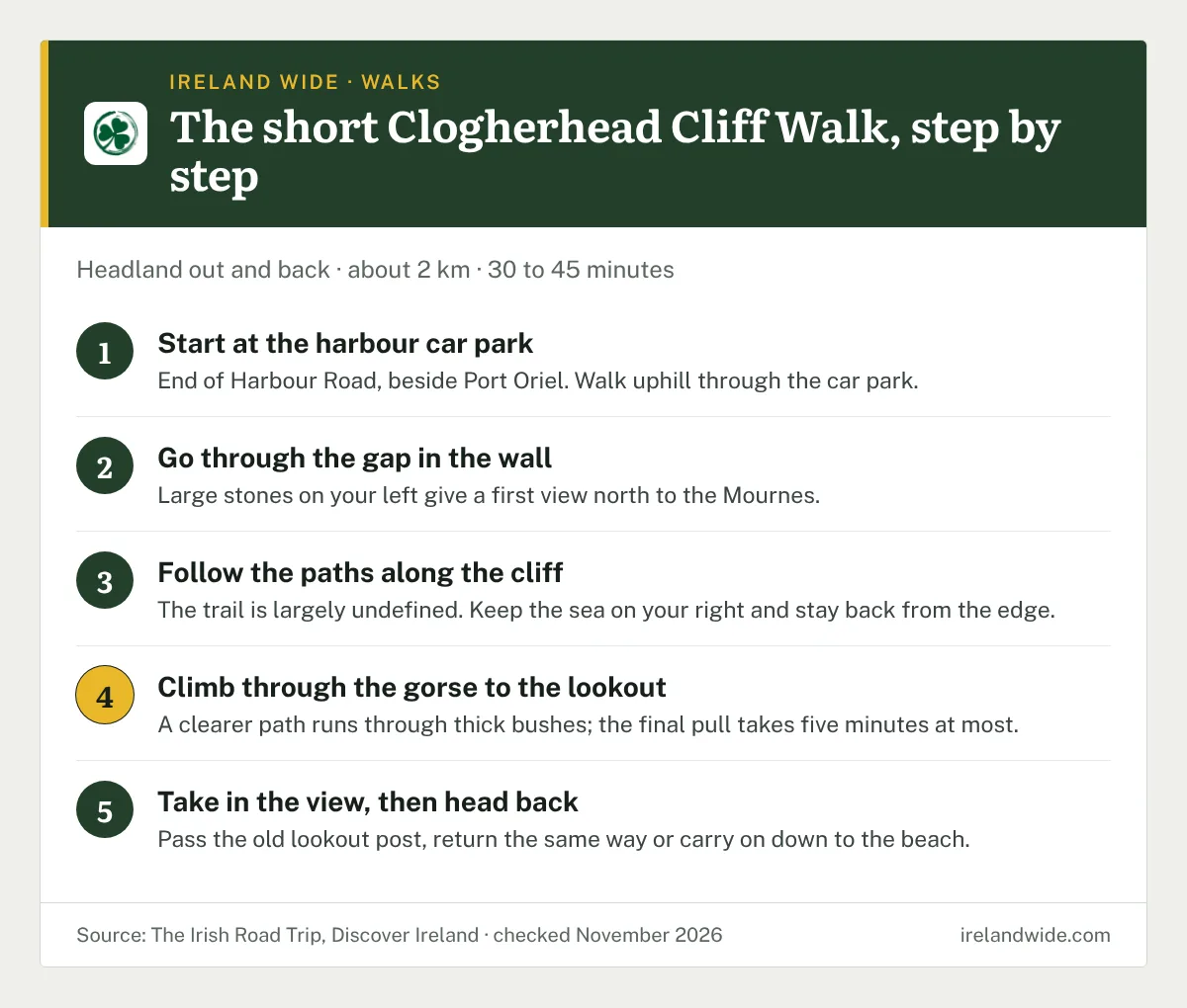
- Start at the harbour car park at the end of Harbour Road and walk uphill through the car park.
- Go through the gap in the wall onto the open headland. Large stones on your left soon after give a good first view north towards the Mournes.
- Follow whichever path pulls you along the cliff edge. The trail is largely undefined across the heath, so pick the line that keeps the sea on your right and stay well back from the edge.
- Climb through the gorse to the lookout. A clearer path runs through thick bushes near the top, and this final pull takes five minutes at most.
- Take in the view and the old lookout post, then return the way you came, or carry on down towards the beach.
The whole thing works as an easy out-and-back, and it’s hard to get properly lost when the sea is on one side and the village is on the other.
The Longer Clogherhead Loop via the Beach and Village
The longer version follows the same headland trail, then drops down to Clogherhead beach and returns to the car park along the village roads. It takes about 1 hour 15 minutes to 1.5 hours, depending on how long you stop.
Fair warning about the road section. The roads back to the harbour are narrow, have no footpath, carry steady traffic and have plenty of blind bends. Walk in single file, face oncoming traffic and keep kids close. If you’re walking with small children or a dog that pulls, the out-and-back is the calmer choice, and you can still add the beach by retracing your steps across the headland.
On the mapped circuit, about 3.11 km of the 5.24 km is on road and about 1.88 km is on hiking paths, so more than half the loop is tarmac. That’s handy in wet weather and less handy for anyone who came for the cliffs.
What You’ll See on the Clogherhead Cliff Walk
Views to the Mournes, Cooley and Lambay
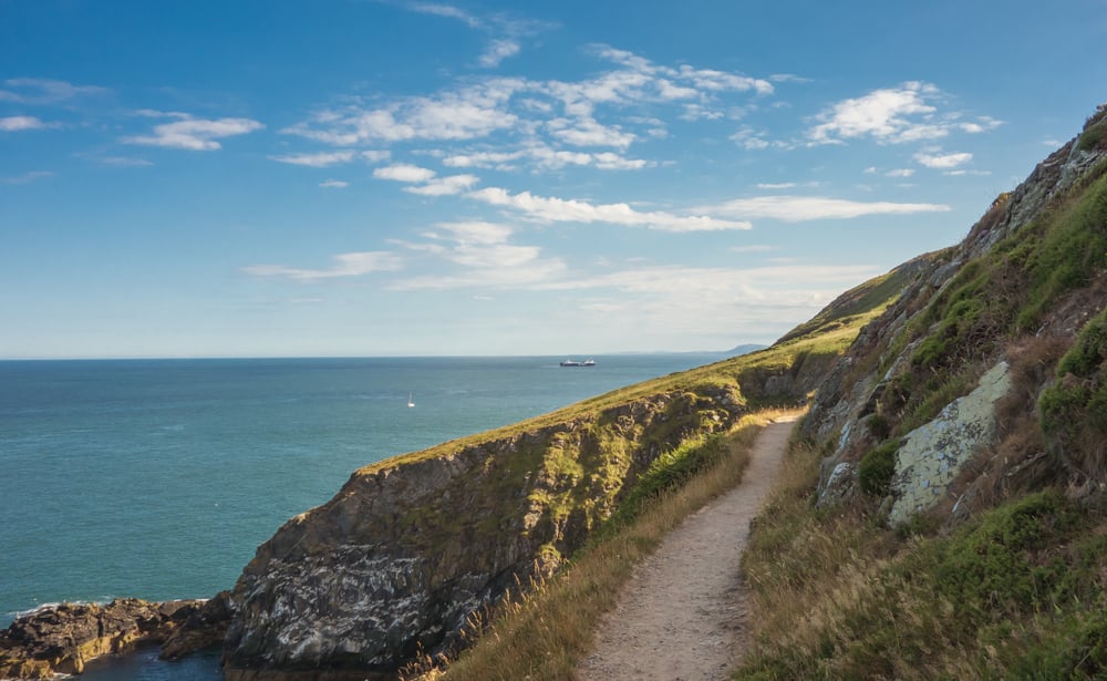
Clogher Head is the only high headland of note between the Mournes and Howth, so the view carries a long way. North, across Dundalk Bay, the Cooley Mountains sit around 30km away, with the Mournes further off behind them. South, Lambay Island is roughly 35km off. Clear, dry days after rain usually give the sharpest view; on a hazy summer afternoon the mountains can vanish completely.
Protected Coastal Heath
The headland is a promontory of Silurian quartzite, and it’s protected as Clogher Head Special Area of Conservation (site code 001459) for its vegetated sea cliffs and dry heath. The heath is dominated by gorse, bell heather and heather, and the cliff tops carry thrift, sea campion and burnet rose. Spring squill and golden-samphire, both scarce plants in Ireland, have been recorded here too, so late spring and summer are the colourful months.
Fire, over-grazing, littering and building are the main threats to the site. Much of the headland is owned by Louth County Council, which has arranged conservation grazing by cattle to manage the coastal heathland. You may meet cattle on the headland, so keep dogs on a lead and give the animals plenty of room.
The Old Lookout Post
Near the top of the headland are the remains of Lookout Post No. 3, one of the coast-watching posts set up along Ireland’s coastline during the Second World War. It’s a ruin in poor repair, so look from outside and don’t climb on it.
Red Man’s Cave
Below the headland is Red Man’s Cave, also called the Red House. It’s not part of the walk itself, and you won’t reach it from the cliff path. The story behind the name comes from local folklore. A 1930s Schools’ Collection account from Callystown school says the cave was named for a slaughter of people there, “some say clergy who attempted to conceal themselves in the time of Cromwell”, betrayed by the barking of a small dog. The same account claims two stones in a pool outside the cave turn every seven years. Treat it as a good story; the history hasn’t been confirmed by any record.
Port Oriel Harbour
The walk starts and ends at Port Oriel, a working fishing harbour built in 1885 and still busy with boats. It’s a handy spot to watch the fleet come in, and seals are regularly spotted around the harbour.
How Hard Is the Clogherhead Cliff Walk?
The Clogherhead Cliff Walk is easy and suits most fitness levels. The climb is short and there’s no scrambling. Still, a few things make it harder than the numbers suggest:
- Mud. The paths get extremely muddy after heavy rain. Wear walking shoes or boots with grip.
- Wind. The headland is completely exposed. On a very gusty day, give it a miss, especially with children, as the paths run close to the cliff edge in places.
- Buggies and wheelchairs. The headland paths are uneven and not buggy friendly. The beach and village roads are the only easy-access parts.
- Cliff edges. Stay on the worn paths and keep well back from the edge, particularly with children.
For what to wear on wet Irish trails, our packing list for wet trails covers the basics, and the same kit works fine here.
Best Time to Do the Clogherhead Cliff Walk in 2026
You can do the walk any month of the year. Each season has its own trade-offs:
- Spring (April to May): The heath starts to flower, the car park is quieter and the days are long enough for the full loop with time to spare.
- Summer (June to August): Heather in flower by late summer, lifeguards on the beach and the best chance of a swim afterwards. Also the busiest, so arrive early.
- Autumn (September to October): Quieter, often clear after rain and still mild enough for the beach. Lifeguard cover finishes in mid-September.
- Winter (November to March): Short days and plenty of mud, but the headland is surprisingly quiet and the visibility to the Mournes can be excellent on cold, dry days.
For a month-by-month picture of rain and daylight, see our guide to weather in Ireland month by month.
Swimming at Clogherhead Beach After the Walk
Clogherhead beach has kept its Blue Flag for 2026, along with Port and Templetown. Louth County Council lifeguards are on duty from 11am to 6pm on weekends in June from Saturday 6 June, daily through July and August, and on September weekends up to 15 September.
The bathing area is 1,430m long and slopes gently into the sea, with toilets, first aid and a car park. There are two small rip currents at the north end of the beach, so swim between the flags when lifeguards are on duty. If you’re caught in a current, swim parallel to the shore until you’re out of it, and never against it.
The beach is backed by dunes that are also protected, so stick to the marked access paths over them.
Food and Coffee Near the Clogherhead Cliff Walk
Two places close to the route are handy after the walk:
- Fishermans Catch, the fish shop on the pier at Port Oriel, right by the start. Fish and chips here at the weekend are a popular finish.
- The Beach Hut, by Clogherhead beach, for coffee, cake and ice cream if you’re doing the longer loop.
Opening hours at both change with the season, so don’t count on either on a weekday in winter.
Places to Combine With the Clogherhead Cliff Walk
The walk is short enough to fit into a bigger day in Louth or Meath:
- Templetown and Port beaches, both Blue Flag beaches further up the Louth coast, for a second, quieter stretch of sand.
- Drogheda, about 15 minutes away, for lunch and a wander.
- Brú na Bóinne, home to Newgrange and Knowth, about 30 minutes inland.
- The Cooley Peninsula, about 35 minutes north, for bigger hill walks around Carlingford.
If you’re planning a wider trip in 2026, our round-up of festivals in Ireland in 2026 can help you time a visit to the east coast.
Clogherhead Cliff Walk FAQ
Is the Clogherhead Cliff Walk free?
Yes. There is no fee to walk on Clogher Head, which is open public land, much of it owned by Louth County Council.
Can you bring a dog on the Clogherhead Cliff Walk?
Cattle graze parts of Clogher Head to manage the protected heath, so keep any dog on a lead on the headland and clean up after it.
Can you camp or light a fire on Clogher Head?
Fire is one of the main threats to the protected heath on Clogher Head, so never light a fire or barbecue on the headland. For the general rules on camping, see our guide to wild camping in Ireland.
Is the Clogherhead Cliff Walk suitable for children?
The short headland walk suits most children, as it’s under an hour with a short climb. Keep young children close near the unfenced cliff edges and on the narrow roads of the longer loop.