
What river flows through Cork City? The answer is the River Lee, the waterway that runs through the heart of Cork and gives the city much of its layout, character, and history.
If you have walked around St Patrick’s Street, crossed one of the city’s many bridges, or wondered why the centre feels slightly island-like, you were looking at the effect of the Lee. It is not just a river passing by. In central Cork, it splits into two channels for a short stretch, and the city centre sits between them.
That simple geography explains a lot about Cork. It also helps if you are planning a visit, trying to understand the city map, or just settling a pub quiz question with confidence before heading for the best pubs in Cork.
The River Lee flows through Cork City. In Irish, it is called An Laoi.
The river rises in the Shehy Mountains near Gougane Barra on the western side of County Cork and then flows east towards the city. As it reaches Cork, the Lee divides into two channels before continuing through Cork Harbour and out to the Celtic Sea.
If you only need the short answer, that is it. If you want the version that makes Cork easier to understand on foot, keep going.
The River Lee is not some background feature that you glance at once and forget. It shapes the centre of Cork in a very literal way. The split in the river creates the island on which much of the city centre was built.
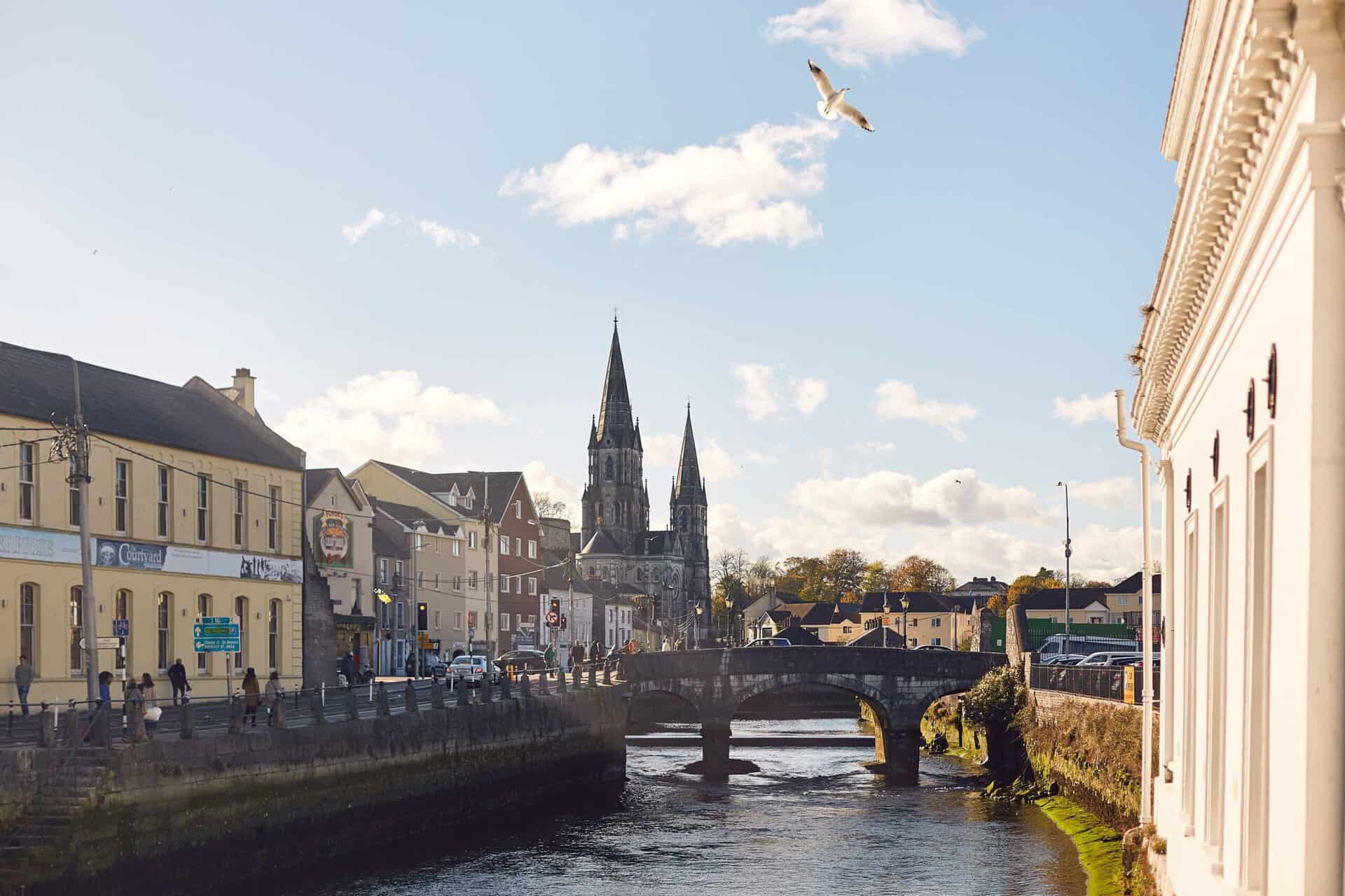
That is why bridges are everywhere. The Lee is crossed by 42 bridges in total, and 29 of them are in Cork City. You feel that quickly when walking around the centre. One minute you are on a main shopping street, the next you are stepping over water again.
This layout gives Cork a different feel from Dublin, Galway, or Limerick. The water is woven into daily life, not tucked away at the edge of town, which is part of why the city lands differently from places people compare it with when asking what Limerick is famous for.
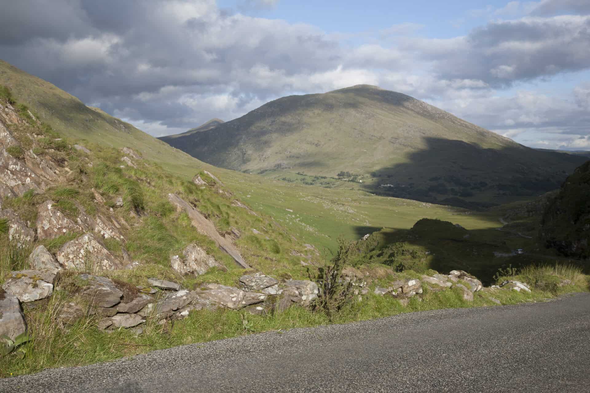
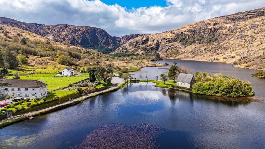
The Lee begins near Gougane Barra, an area people know for its lake, forest park, and small lakeside chapel. From there, it runs eastward across County Cork.
Along the way, it passes through Lough Allua and continues toward the city. Upstream from Cork, the river was altered by a hydroelectric scheme that created the Carrigadrohid and Inniscarra reservoirs.
After passing through Cork City, the river continues into Cork Harbour, which is widely regarded as one of the largest natural harbours in the world, before reaching the Celtic Sea.
Some useful figures help put the Lee into scale:
Those numbers are not essential for a casual stroll along the quays, but they do explain why the river has such a strong presence in the county as well as the city.
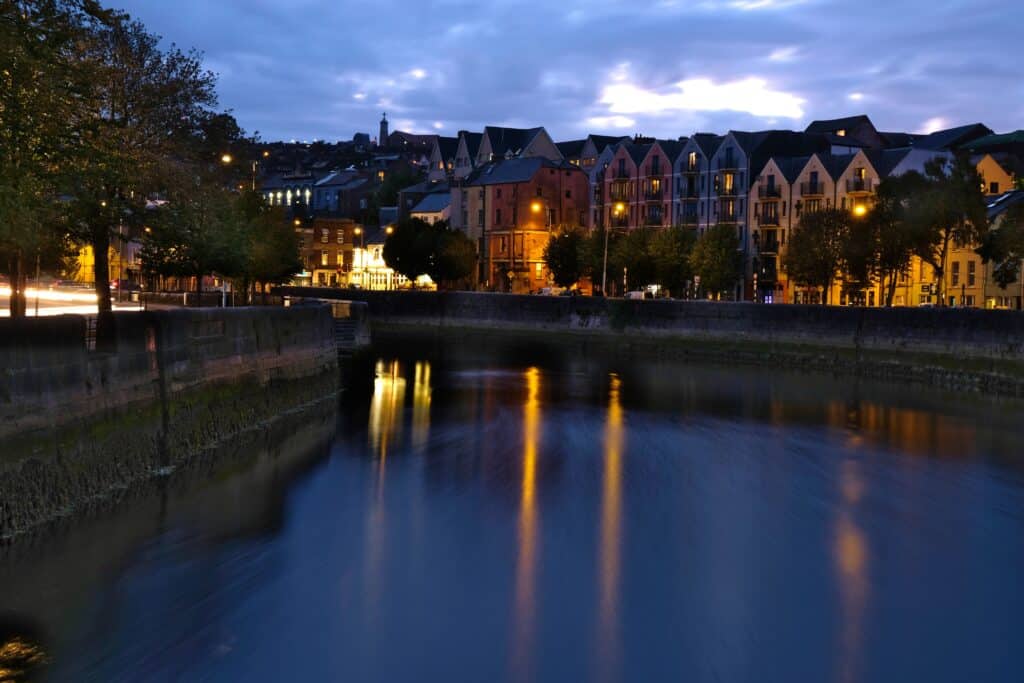
The best way to understand Cork’s centre is to picture the Lee dividing into a north channel and a south channel. The streets, quays, and bridges make much more sense once you know that.
It also explains why the city often feels compact but layered. Water keeps appearing at the end of streets, beside office blocks, and behind older buildings. Cork’s city centre sits on ground that the river helped define over centuries.
If you are exploring on foot, you do not need a formal river walk to notice it. Crossing between the quays, moving around the commercial centre, and heading toward areas like South Mall or Morrison’s Island gives you an immediate sense of how closely the city and the Lee are tied together.
You do not need a specialist interest in rivers to enjoy the Lee. A few details make it more interesting once you know what you are looking at.
This is the big one. The split is the reason central Cork sits on an island. It is also why the city has so many bridges packed into a relatively small area.
Cork’s quays are part of everyday city life, not just scenic edges. The bridges keep the centre stitched together, and walking across several in a short time is part of the normal Cork experience.
The Lee is controlled upstream by the dams at Inniscarra and Carrigadrohid, built in the 1950s mainly for hydroelectric generation. They also affect river conditions downstream, especially during periods of heavy rainfall.
Yes, the River Lee has a long association with flooding in Cork City. The risk comes from a mix of factors rather than a single cause.
Heavy rainfall across the Lee catchment can push large volumes of water toward the city. Dam releases from Inniscarra may be needed during prolonged wet periods. Tidal conditions also matter because Cork is influenced by water levels from downstream through Cork Harbour.
When high river flow and high tide arrive together, flood risk increases. During major flood events in recent decades, some of the worst impacts have hit quayside streets, businesses, and ground-floor premises in the centre, which is why flood planning in Cork is never treated as a theoretical issue.
This is one reason flood defence work around the city has been such a significant issue. The Lower Lee Flood Relief Scheme includes measures such as quay-side defences, washlands west of the city, an enhanced warning system, and changes designed to manage water movement through the channels more effectively.
If you are visiting Cork and see flood barriers or newer riverfront works around areas such as Morrison’s Island, Union Quay, or Trinity Bridge, that is part of the wider story of how the city lives with the Lee.
You do not need a checklist of ten stops here. A few central areas give you a strong feel for the river’s role in the city.
These are not remote viewpoints that require a day plan. They are part of central Cork, so you will likely encounter them naturally while moving between shops, cafés, and landmarks. If you are building out a longer stay, they fit easily into wider day trips in Cork or a slower wander around the city centre.
The Lee also supports salmon fishing. The river provides an 8-kilometre stretch of salmon fishing, which adds another layer to its importance beyond city geography.
For most people visiting Cork City, this is a side note rather than the main event. Still, it is a reminder that the Lee is a working natural system, not just an urban backdrop.
If you are heading to Cork and want the shortest useful version, here it is:
Absolutely. Even if your original question was just what river flows through Cork City, the answer opens up a better understanding of the place.
The Lee explains the shape of the centre, the density of bridges, the layout of the quays, and part of Cork’s long relationship with flooding and river engineering. It also gives the city some of its personality. Cork would still be Cork without many things, but not without the Lee.
So yes, the answer is simple. The River Lee flows through Cork City. The more useful answer is that once you know that, the city starts to make much more sense.

Matt Hook is a Canadian writer of Scottish and Irish heritage. He built his writing career creating detailed gaming guides, turning complex mechanics, history and lore into useful information for readers. Matt brings that same research-focused approach to Ireland Wide, where he writes about Irish travel, heritage, history and culture. He also holds CMA and CPA designations as a professional accountant, giving him a strong background in research, accuracy and attention to detail.
At Ireland Wide, our aim is to bring authentically Irish insights to you, wherever you are.
Whether you have some feedback or would like to offer some of your own insights for everyone else to explore, don't hesitate to get in touch with us!